Quick summary
- In 1995 the Rhine crested at 10.69 metres at Düsseldorf, testing the harbour's flood defences.[1]
- The Rhine is 1320 km long, while the embankment promenade runs one and a half kilometres along the water.[2][3]
- The former dockland was reimagined in the 1980s and 1990s and is now home to more than 700 companies.[4][5]
- The MedienHafen Tour lasts 2 hours, is led in German or English, and costs from US$218.[6]
- The MedienHafen Tour holds a rating of 4.64 from 276 reviews, with a private group option available.[6]
- Top choice MedienHafen Tour from US$218 Duration2 hours[6]GuideGerman and English[6]Rating4.64 from 276 reviews[6]CancellationCancel up to 24 hours in advance[6] Check availability
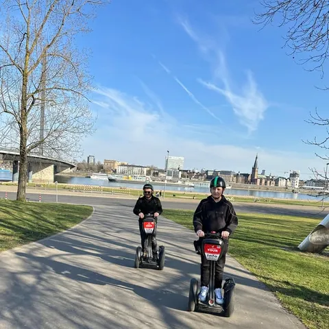
- Segway along the Rhine from US$91 Duration2 hours[7]GuideGerman and English[7]Rating4.90 from 189 reviews[7]CancellationCancel up to 24 hours in advance[7] See this tour
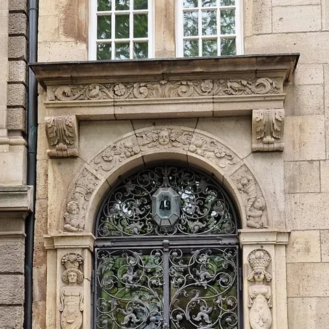
- Architecture Walk from US$23 Duration2 hours[8]GuideGerman[8]Rating4.74 from 65 reviews[8]CancellationCancel up to 24 hours in advance[8] See this tour
In 1995, the Rhine crested at 10.69 meters at Dusseldorf, testing the harbor's flood defenses.
A working harbour, built to live with the river
Plan the practical side
- Reserve now and pay later on the MedienHafen Tour
- Flexible cancellation if plans change
- From-price in US dollars on GetYourGuide
- Live guide in German or English
On the day
- Allow enough time for the full tour
- Bring layers for the open riverside
- Check starting times before you arrive
- Ask about step-free routes if needed
When the Rhine Flooded MedienHafen
The harbour is easy to misread. On a dry day the water slides past the quays as though it has always sat at that level, and the cafes fill up as if nothing could ever change. Then a wet winter arrives, the current quickens, and the river reminds everyone that this is a working waterway rather than a decorative pond. In 1995 the Rhine crested at 10.69 metres at Düsseldorf, testing the harbour's flood defences.[1] That flood is the reference point for anyone trying to understand why the district looks the way it does, and why its quays, steps and barriers are arranged as they are.
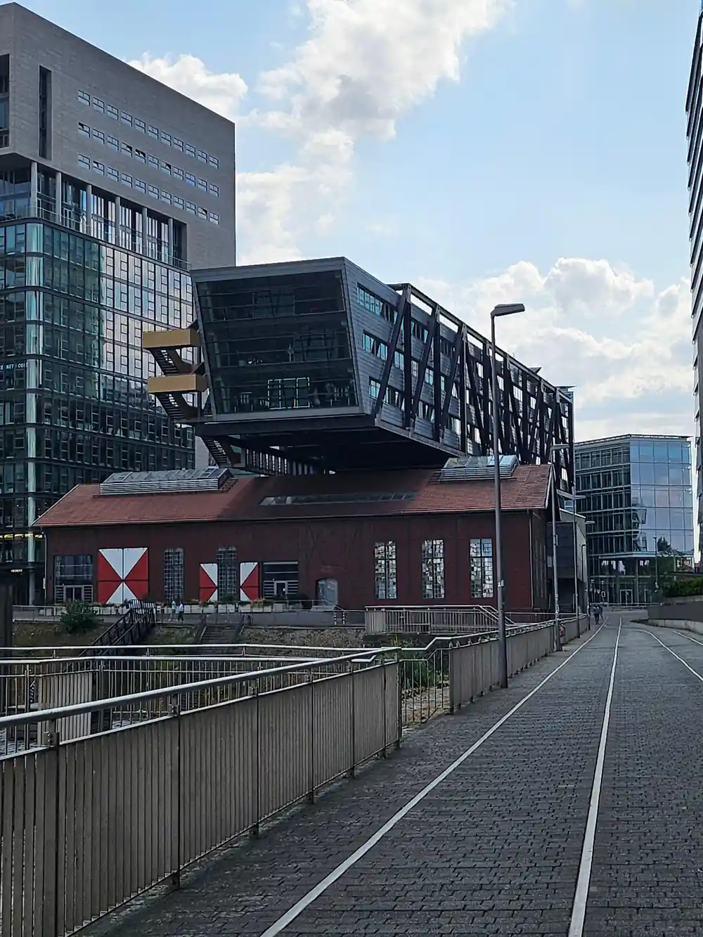
The docks at the end of the 19th century sat at the southern end of the Rhine promenade and helped the city boom until the end of World War II.[9] Trade moved away, the basins fell quiet, and for a while the waterfront was simply a large empty space in the middle of a growing city. Then, in the 1980s and 1990s, planners and developers reimagined the vacant waterfront as the MedienHafen media district.[4] Today that district is home to more than 700 companies, along with restaurants and offices that sit right beside the water.[5]
How the Basin Connects to the Rhine
The harbour basin is not a separate pond cut off from the river. It opens onto the Rhine, so the level in the docks follows the river's moods, rising and falling with rain and snowmelt far upstream. The Rhine is 1320 km long, one of the great water highways of Europe, and at Düsseldorf it behaves like a working river rather than a postcard.[2] Watch the water for a few minutes and you will see debris, eddies and the flat pull of a current with real force behind it.
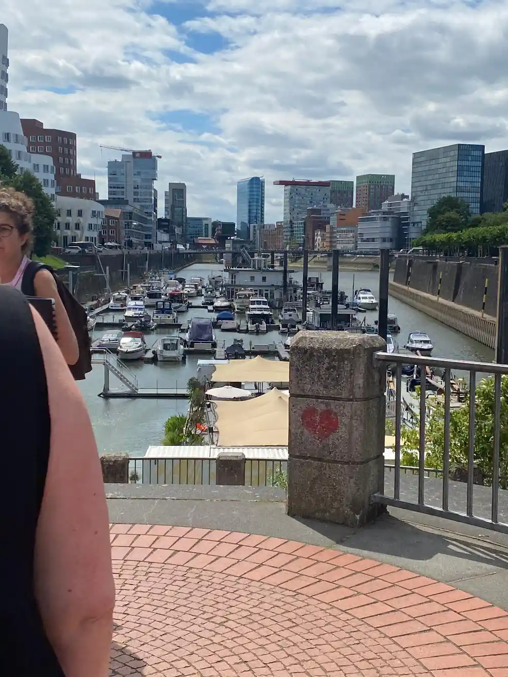
The embankment promenade is the easiest place to watch this. It runs one and a half kilometres along the river, close enough to see the current swirl around the bridge piers and to feel spray on a windy day.[3] People walk, jog and cycle here at all hours, and the low level of the path is part of its charm rather than a design fault. On a guided walk, this is where the flood story starts to feel real, and you can see how much room the river has to rise.
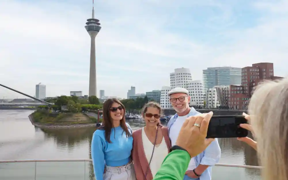
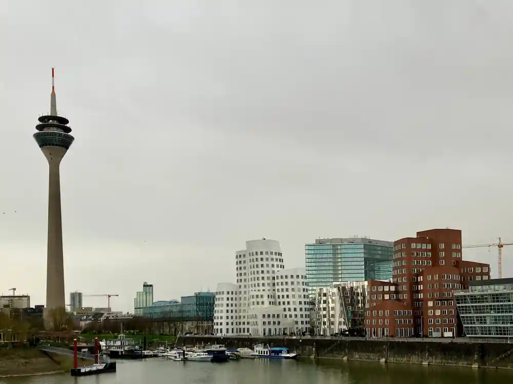
The Rheinturm keeps watch over the Rhine and the MedienHafen quays.
The Stepped Promenade and Lower Quay Levels
The design of the modern promenade is deliberately low. Steps and terraces lead down toward the water instead of a high wall holding it back, which keeps the river visible and reachable for most of the year. When the Rhine crested at 10.69 metres in 1995, the harbour's flood defences were tested.[1] The quay levels are part of that system rather than an accident of layout, and the lower steps are designed to be given up to the water when the river swells.
Looking up from the lower quay, the harbour's landmarks give you a sense of scale. The Rheinturm stands 240.5 metres tall and was built between 1979 and 1982, and it is a useful beacon on any visit.[10] Beneath it, the low promenade keeps the river visible, which is exactly what a district that depends on the water needs. You can trace the line of the quay with your eye, from the steps at your feet up to the tower, and see how the edge of the city was shaped around one river.
Mobile Walls and Permanent Flood Defences
Flood defence here is a layered affair. Permanent structures do part of the work all year round, while mobile barriers can be moved into place when the river threatens to spill into the streets. The 1995 flood, when the Rhine crested at 10.69 metres at Düsseldorf, showed how much those layers matter.[1] The harbour is home to more than 700 companies.[5]
Visitors can see the permanent side on foot. The promenade's one and a half kilometres connect the harbour basin to the wider riverside, and the lower quay levels give the water room to rise.[3] Mobile walls, seals and pumps are less obvious, which is exactly the point: they appear when they are needed and stay out of the way when they are not. A guide can point out the joints and slots where those pieces fit, details that most people walk straight past.
from US$218
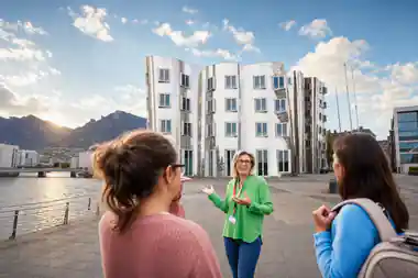
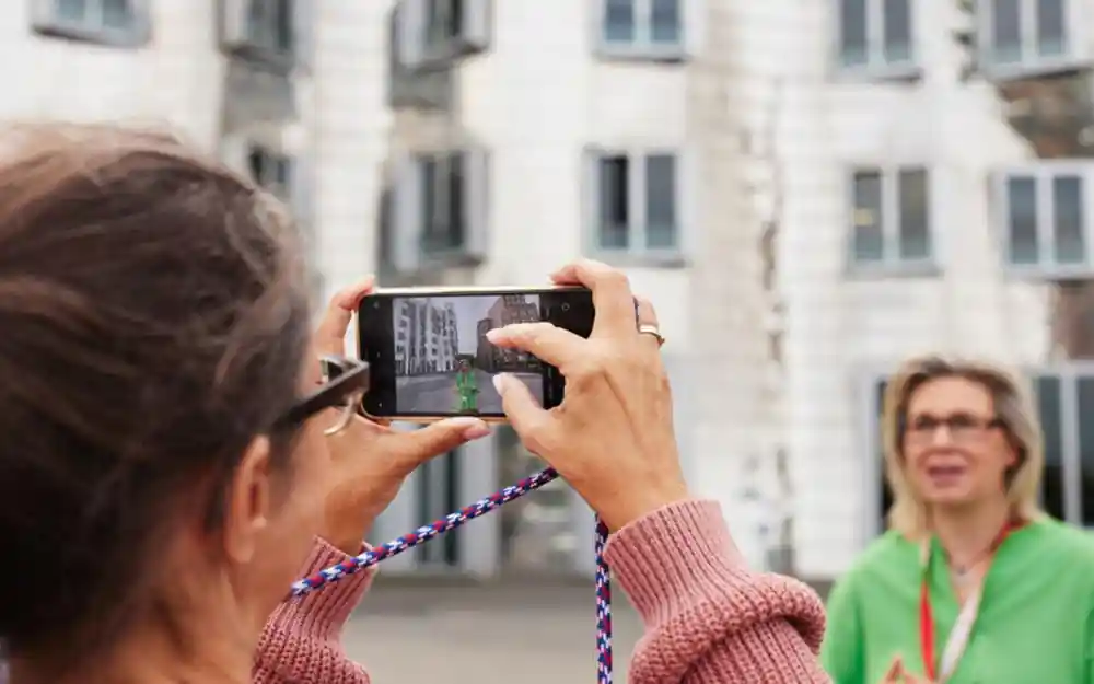
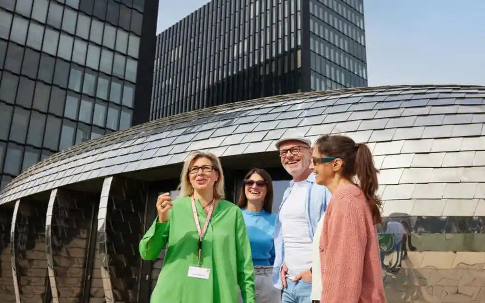
The MedienHafen Tour is a private-group way to see the district's high-water story.
Reading the Water Gauge
The Rheinturm gives the harbour a second clock. The Lichtzeitpegel, designed by Horst H. Baumann, uses a vertical series of lights to show the time in a simplified decimal layout.[11] The tower itself was built between 1979 and 1982 and stands 240.5 metres tall.[10] It is a clever piece of public art that turns a functional structure into something people stop and look at after dark.
The light clock is not a flood gauge, but it encourages the same habit of watching the vertical dimension. On high water days, both the lights and the river draw attention upward and downward at once. Reading the water is easier when you know the reference points: the everyday level, the steps that vanish first, the marks left by past floods. A guide can point out which levels trigger which defences, and which parts of the quay are simply designed to be wet.
High Water Days and the Tour Route
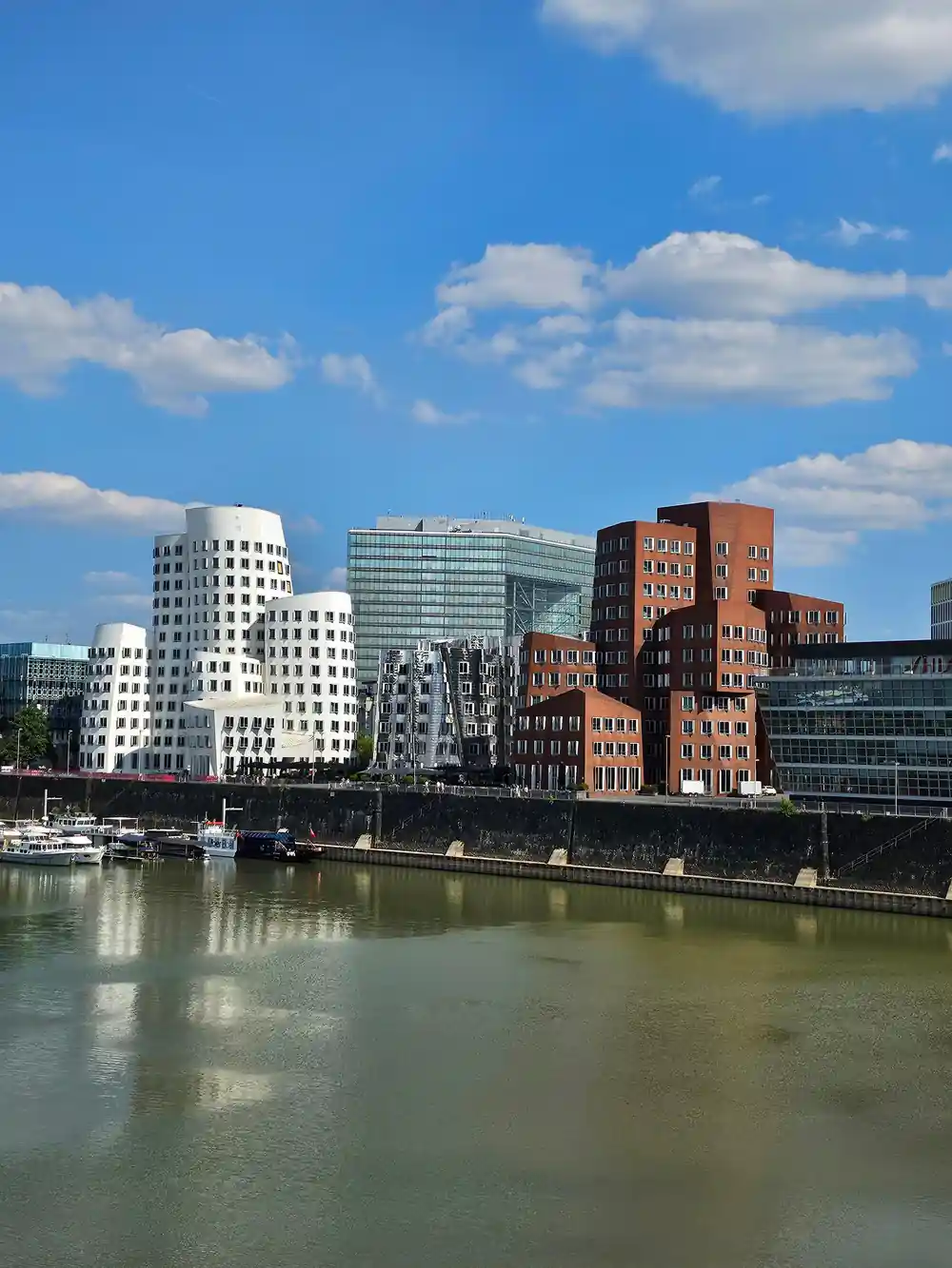
High water makes the harbour more dramatic rather than less. The basin fills, reflections stretch, and the curved fronts of the Gehry complex appear to shift as you move. The Neuer Zollhof, designed by Frank Gehry, was completed in 1999 and consists of three buildings, and the Colorium stands 17 stories tall.[12][13] Both are worth seeing in flat light and in rain, when the facades take on a different character altogether.
The MedienHafen Tour is the practical way to see it all with someone who knows the district. It lasts 2 hours, is led live in German or English, and costs from US$218.[6] A private group option means you can spend extra time on the flood defence story if that is what interests you.[6] If conditions look wild or your plans change, you can cancel up to 24 hours in advance for a full refund.[6]
Why the Harbour Chose Adaptation Over Isolation
The old docks were part of the city's boom from the end of the 19th century until the end of World War II.[9] When that era ended, the obvious move might have been to wall the water out and turn the basins into car parks. Instead, the MedienHafen went the other way: it adapted, creating a modern media district in the 1980s and 1990s.[4] The river stayed part of the address rather than becoming a problem to be hidden.
Adaptation is visible everywhere you look. The embankment promenade gives you one and a half kilometres of public riverside; the Rheinturm gives you 240.5 metres of vertical reference above the quays; the Gehry buildings and the Colorium, which stands 17 stories tall, give architecture lovers a reason to look up and around.[3][10][12][13] The flood defences are not a separate story bolted on afterwards, and they are not hidden away. They sit in the fabric of the quays, in the steps and slots you walk over.
Traveller ratings at a glance
Build your Düsseldorf day in US dollars
US dollar from-prices from these GetYourGuide listings:[6][8][16][17][18].
When to see the harbour at its best
Plan your high-water visit
Check the river before you go
Check current conditions before heading out; the Rhine has reached 10.69 metres before.[1]
Book the guided tour
Reserve the MedienHafen Tour from US$218 with a live guide in German or English.[6]
Wear river-ready shoes
Water can sit on lower steps when the river is high. Choose footwear with grip and bring a layer for the open promenade.
Ask about quay levels
Your guide can show how the stepped promenade and permanent defences work. The promenade itself runs one and a half kilometres along the Rhine.[3]
Leave room for flexibility
If the weather changes, take advantage of the tour's free cancellation up to 24 hours in advance.[6]
Discover how the harbour lives with the river
from US$219Reserve now & pay later